
Streets
Whats in a name?
Have you ever wondered how your street got its name?
Whats in a name?
Our local streets often have fascinating stories behind their names. Some are named after notable residents of the town, while others were named by early settlers or explorers after close family members. Some streets are named after British politicians from the past, while others reflect the connection to the sea and are named after important military or naval personnel, ships, or battles.
Some original names have changed or have been spelled slightly differently since first recorded. This resource gives a brief look at many of the sites and streets in the town and who or what they were named after.
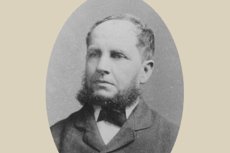
Our streets were named in two phases – firstly prior to 1856 by Governor Richard Bourke, surveyor Robert Hoddle and Superintendent Charles Latrobe, and then after 1856 by the newly formed municipal council, as well as by private developers who named streets during both periods. Interestingly, only Latrobe had any local streets named after him – Latrobe Street, Newport and Charles Street.
Look for the signs
You can also see that many of the stories behind some of Hobsons Bay’s oldest street names have been acknowledged by Hobson Bay City Council through the installation of heritage street signs.
Streets of Williamstown
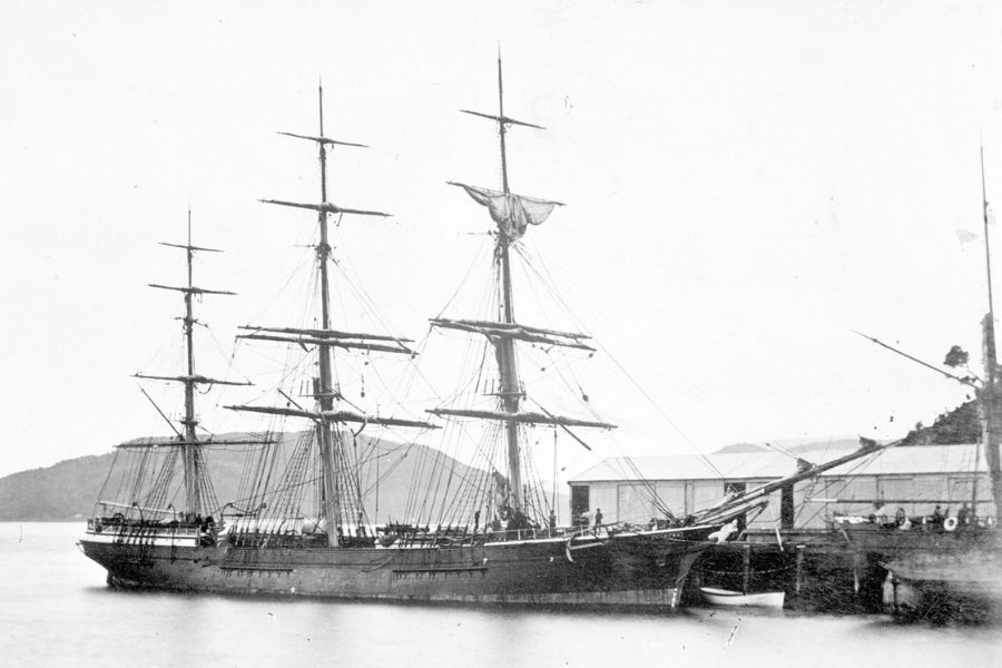
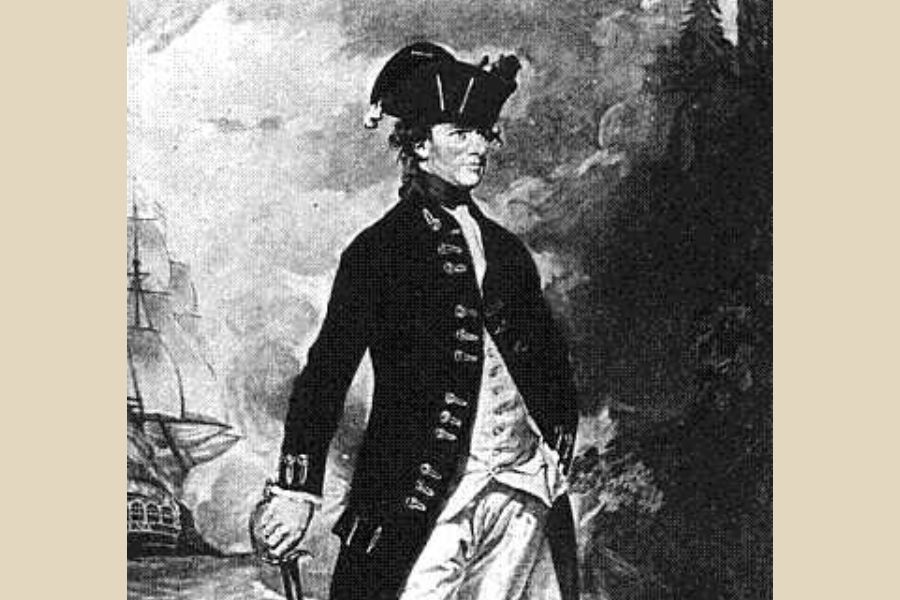
The town was originally named Port Harwood by John Batman in his first visit to the area for the Port Phillip Association in 1835, after his colleague and the captain of one of his ships – J.P. Harwood.
In 1837 Governor Burke accompanied by surveyor Robert Hoddle, arrived in Port Phillip Bay to see the new settlement for himself. On this visit he specified the sites for the pier, wooden lighthouse, roads and government buildings.
Also, during this visit, two towns were officially named and were notified in the Government Gazette of 29th March, 1837. They were the port of William's Town (named for King William IV, the Sailor King), and Melbourne (named for Lord Melbourne, Prime Minister of England).
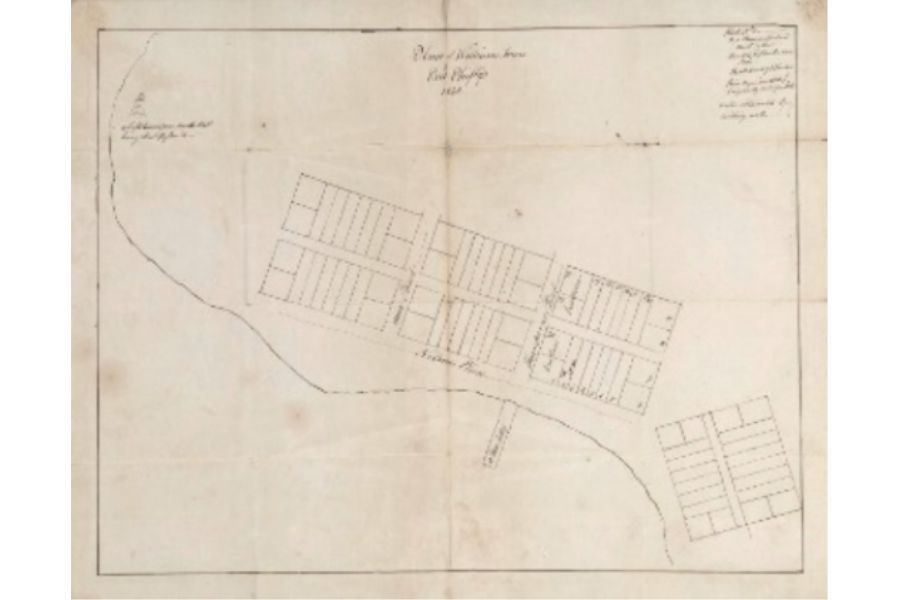
As can be seen by the 1840 map of the town, only three named streets existed – Nelsons Place, Ann Street and Thompsons Street with the ‘Town Jetty’ clearly marked at the end of Thompsons Street. The light house is also marked at the end of Point Gellibrand.


Streets of Newport
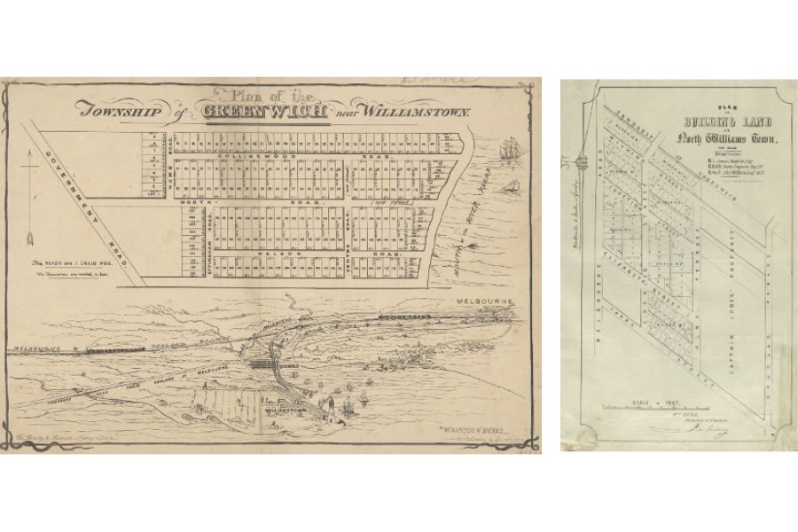
Newport, as it is today, was previously divided into different sections that were given distinctive names over the years like Williamstown Junction, North Williamstown and Greenwich.
In the 1860s the area from Yarra Street to Wilkins Street was known as North Williamstown in the Township of Greenwich (as can be seen by the map below offering land for sale. This land was on offer by James Moxham, Charles Ferguson and John Wilkins, all well-known residents. Newport Station was also listed as “Junction Station” on the map.
IIn the 1880s, a section of what is now known as Newport was called Greenwich, as indicated by the map on the right. This area extended from the Yarra River to Melbourne Road (then known as Government Road), and from Collingwood Road to Peel Street (then known as Nelson Road).
The reason why Newport was named as such is still unknown. However, in 1881, the station previously known as "Williamstown Junction" was renamed to "Newport" and soon after, the name was adopted for the entire suburb.
Historical rate records dating back to 1863 show that William Hall had leased some land that included the current location of Newport Lakes to Samuel Bunting and Charles Newport. This could suggest that the suburb was named after Charles Newport. Another possibility is that it was named after one of the many towns called Newport in the United Kingdom. Lastly, it could have been given it was a new port located at the mouth of the Yarra River.
-
![]()
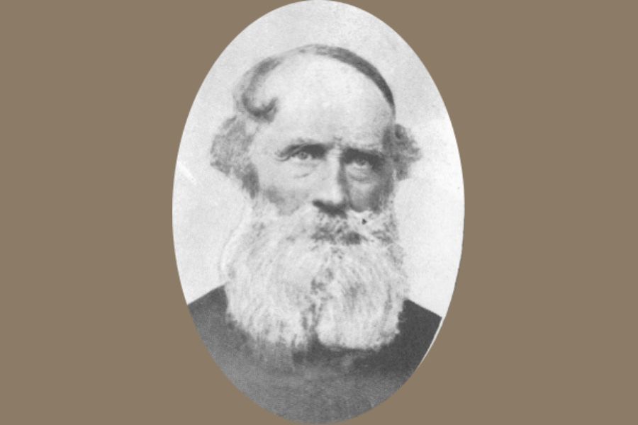
Agg Street
ButtonWrite a short description.
-
![]()
-
![]()
-
![]()
-
![]()
-
![]()
-
![]()
-
![]()
-
![]()
-
![]()
-
![]()
-
![]()


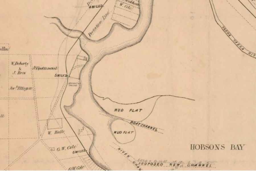
Streets of Spotswood
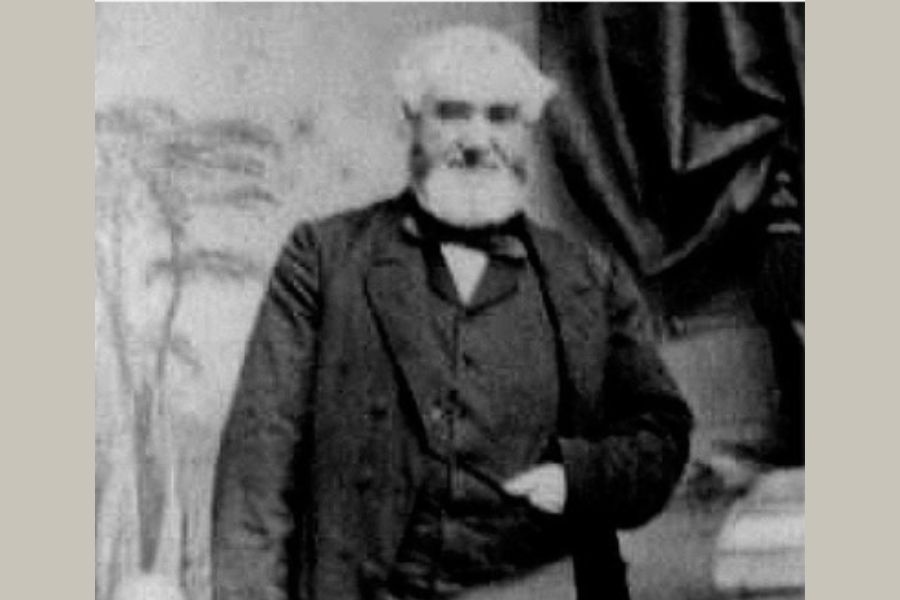
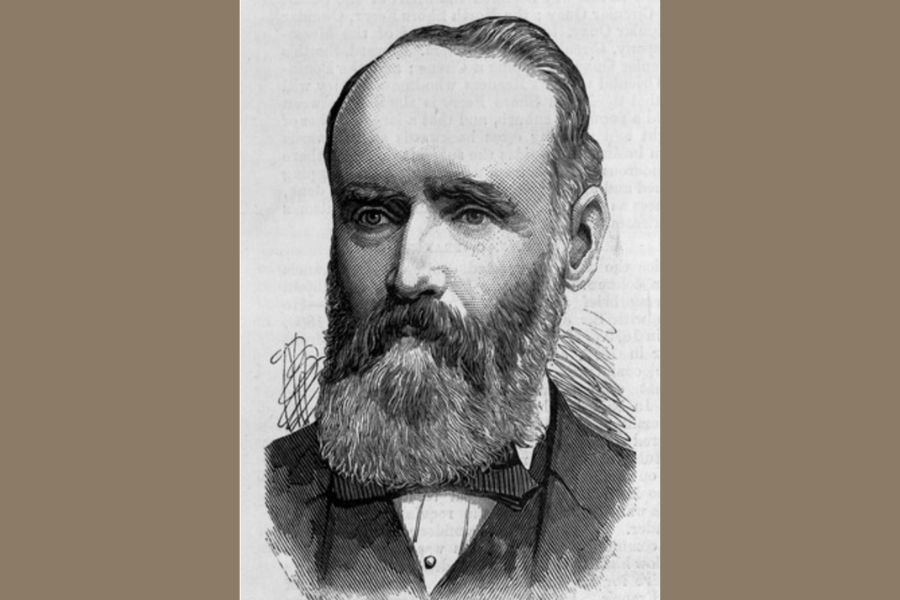
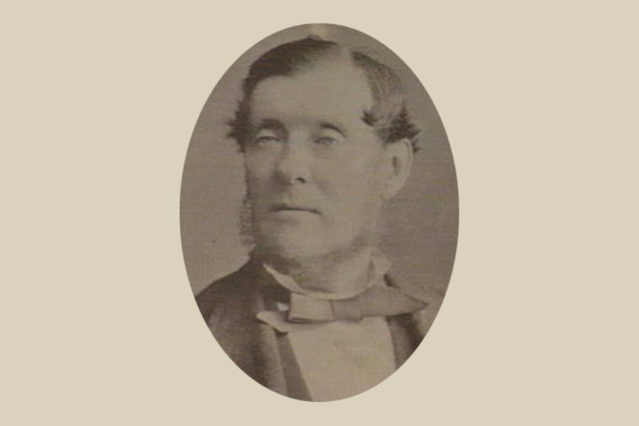
Spotswood was named after John Stewart Spotswood, who migrated to Australia in the early 1800s. He bought a parcel of land in the area in 1841 for farming and quarrying basalt.
Spotswood had initially arrived in Van Diemen's Land, now known as Tasmania, with his father. In 1831, he was appointed as a 'Special Constable', but by 1839 he had moved to Williamstown.
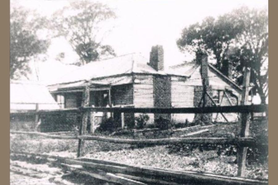
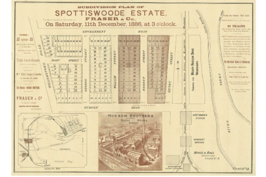
The 119 acre Spottiswoode Estate was bound by the Yarra River in the east and what is now Melbourne Road (West), Craig Street (South) and Simcock Street (North).
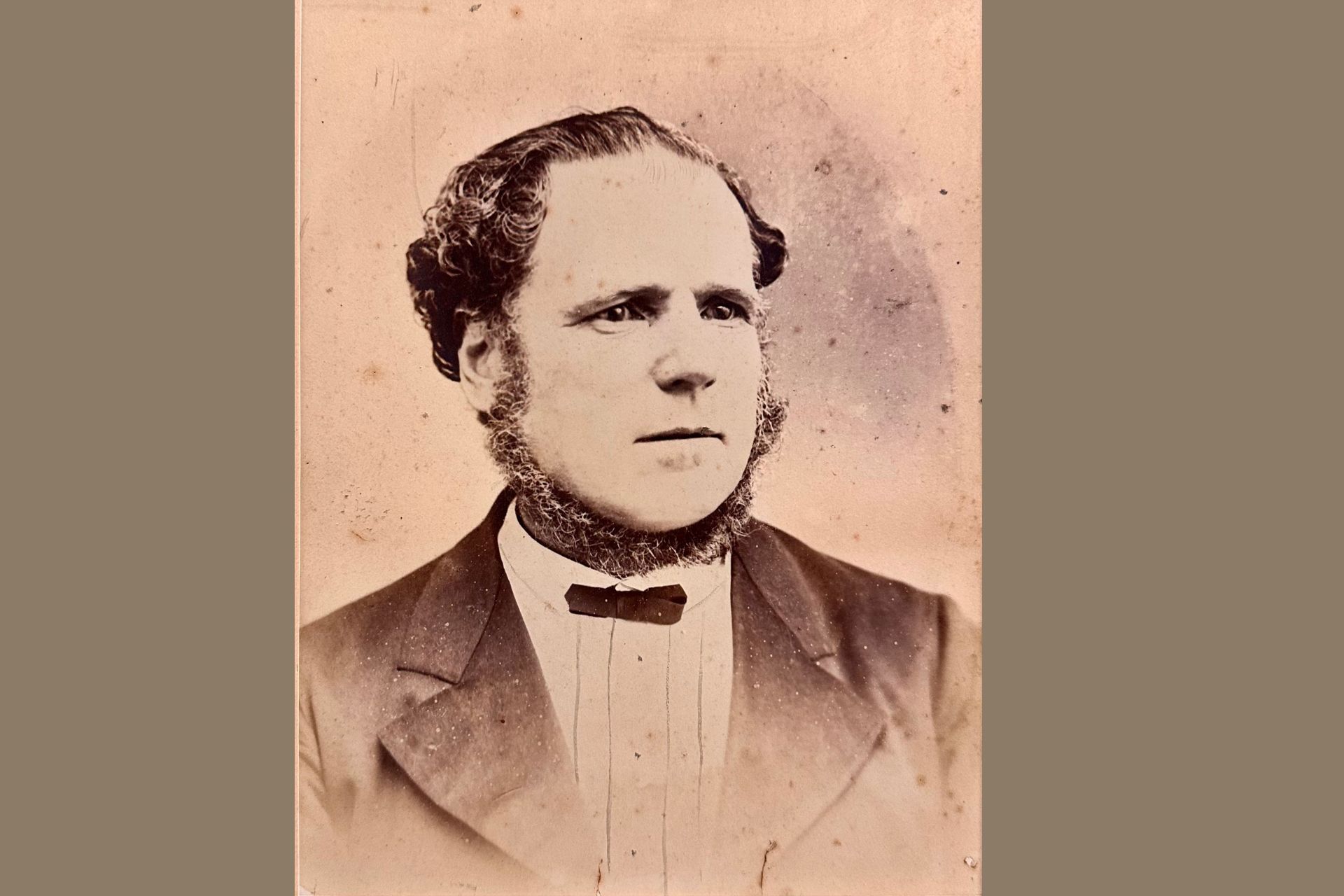
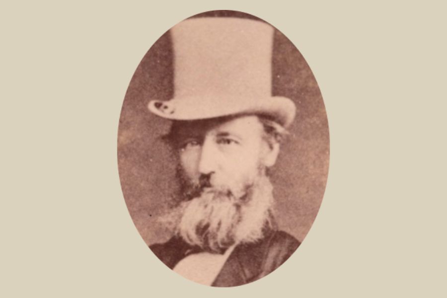
In 1883, the land was bought by the Hudson Brothers, Henry, Robert, William and George Hudson to provide housing for their factory workers, building railway carriages for the Victorian Railways.
The street names on the original subdivision plans indicate the Hudson Brothers intended the streets named after them. Henry Street (now Bolton Street), Robert Street, William Street (now Forrest Street), George Street and certainly Hudson Road.
-
![]()
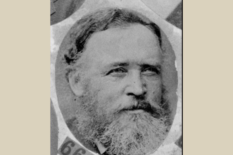
Booker Street
ButtonWrite a short description.
-
![]()
-
![]()


USEFUL LINKS
CONTACT
+61 3 9397 1534
williamstownhistsocietyvic@gmail.com
100 Douglas Parade
(PO Box 189)
Wiiliiamstown VIC, 3016
Australia
FOLLOW US ON SOCIALS
ACKNOWLEDGEMENT OF COUNTRY
We acknowledge the Bunurong People of the Kulin Nation as the traditional owners of these lands and waterways and pay our respect to Elders past and present.